Textures to the Max!
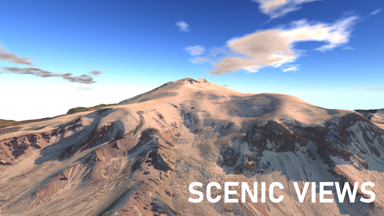
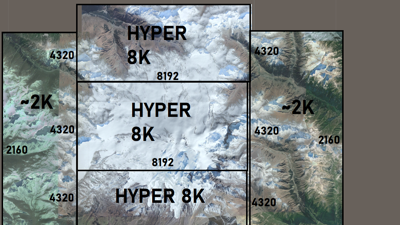
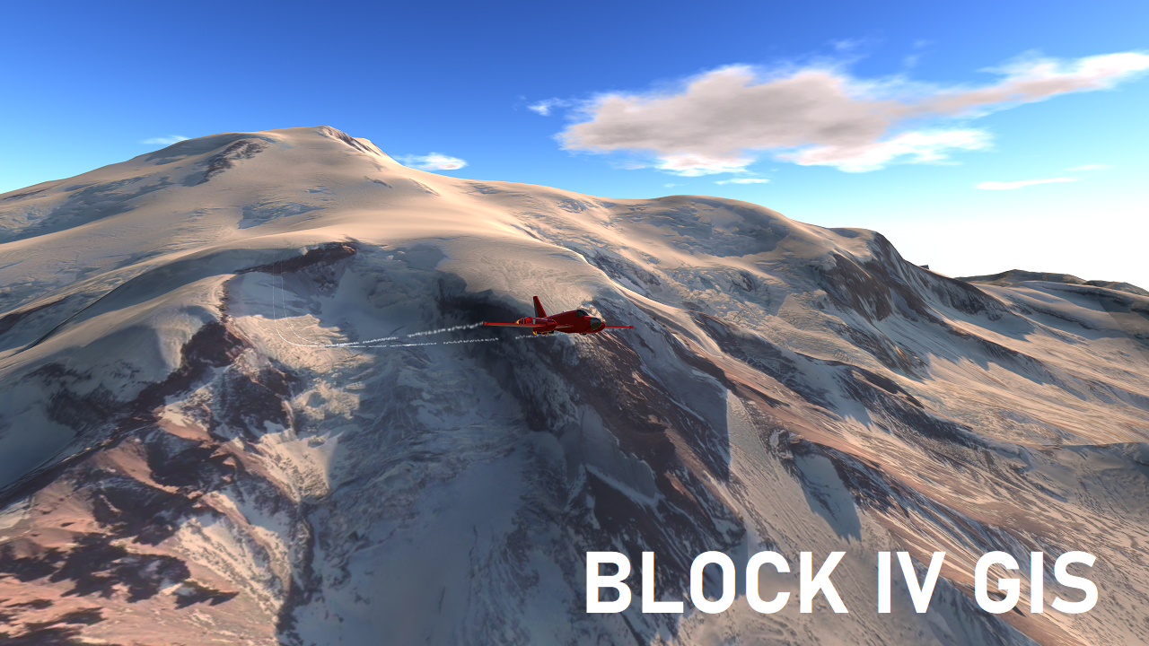
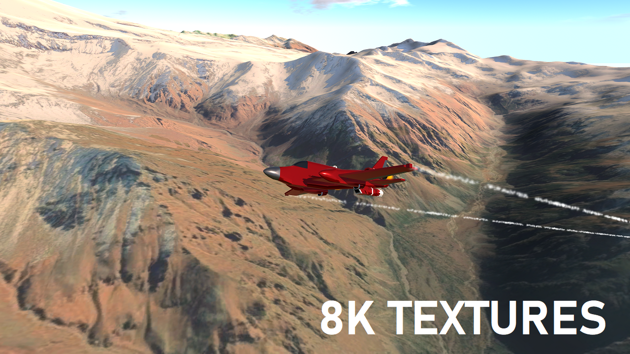
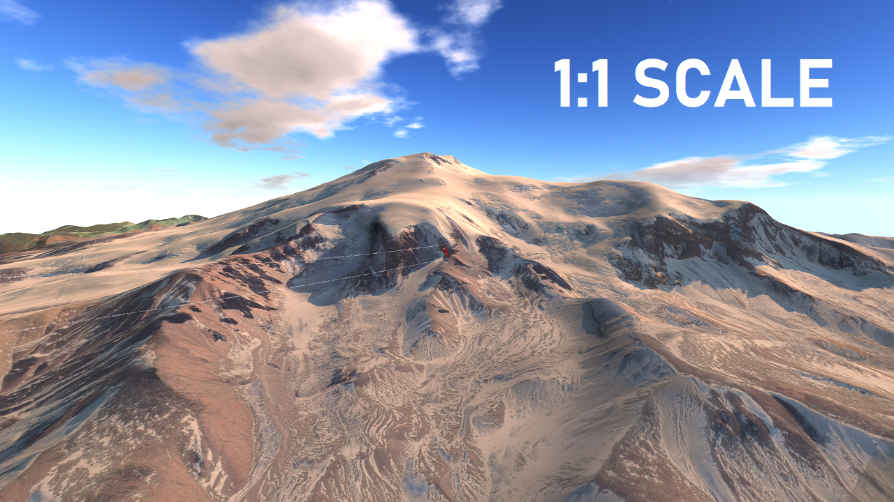
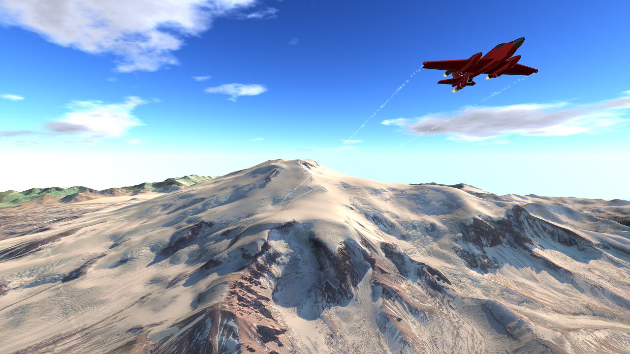
This is a 1:1 map of Mt. Elbrus, the tallest mountain in Europe, and the surrounding terrain. It is my first mod to use the brand new GIS Block IV workflow. This produces even better textures than Block III (Everest, Rainier, and Wake). You can check out the texture overview on the images page, which yields this mountain a texture size of 12,960 x 10,912 pixels! You can climb the mountain, explore, or take scenic photos.
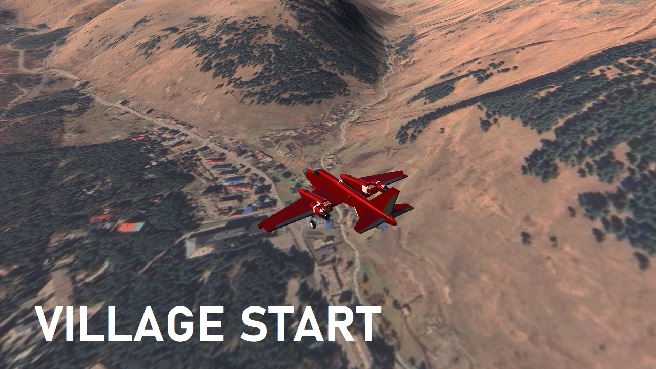
- There is an aerial start on top of a village
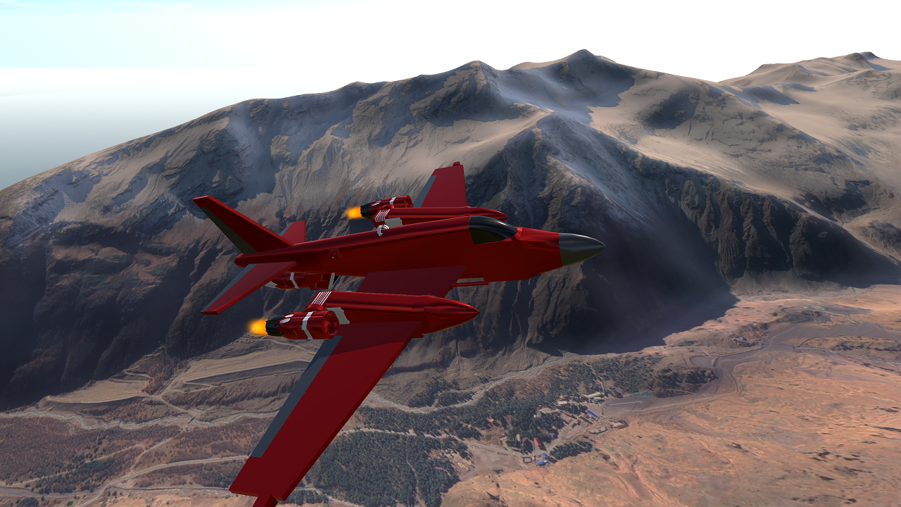
- There is an aerial start within a valley
- There are two misc. aerial starts around the mountain
Notes
- Big textures will provide you the best looks in either the valleys or the cliff face of the mountain
- There seems to be a lot of satellite image variation on the fringes of the map
- GIS Block IV is a pain but it allows for less tiling. Blender crashed 8 times, some times taking my work with it, and one crash even corrupted the entire application, which meant I had to re-install the entire thing. Worst of all, my GIS plugin is now glitched and not enabled on startup (very annoying)
- As with all the GIS mods, ground start is fundamentally broken. All the starts you make on the ground will be based on your cockpit height, so keep that in mine
- It is built of only 3 Hyper-Detail pieces and 1 Detailed outside piece
- Very unfortunately, there is no "big background" tile. I may add one because this mod looks great but when you see the edge of the map, a lot is ruined...
- The textures I exported were actually 17K, but due to obvious reasons unity scaled them max to 8192 (8K or UHD). I could have saved a lot of time if I wasn't dumb to make 17K textures.........
- Everest and Rainier (Block III maps) have slightly better terrain but worse textures
- Re-Entry Effects is used in some of the pictures, go check it out!
- Source code available on Discord Request, as well as any map/GIS help
Changelog
1.0 - Added Mt. Erebus with Block IV GIS
SOON - Add background terrain
If you want to get notified when my mods upload, please follow. Thanks!
GIS SUGGESTIONS GO HERE (CLICK)
sorry for not making a map from that list twice
also, not going to do the 7 summits. you can have the 3 summits for now

Android version now available!
I took a closer look at the map and you can actually see paths in the snow on the mountain, its so detailed you can see paths, wow.
@232287168147825 where
This can be used to recreate NZ 901
On 2023 it doesnt work
arrogant person
@232287168147825 please please where is Android button!!
@232287168147825 how do I download android
@232287168147825 Where?
@232287168147825 where, i need that
Whats the quortinate for this island/mod
@232287168147825 how do u download on android tho...
@232287168147825 where is link?
@232287168147825 where
Is android available
@232287168147825 where?
Click NOICE
Thanks! @randomusername @Thatsahottopic
They’re based on meshes instead of terrains for their 1:1 size, so SP, which expects terrains, doesn’t calculate fog for them and craps out all the ground zones @jamesPLANESii
How come your maps don’t respond to fog?
There goes my brain, gone. This is mindblowing, just wow.