Size to the Max!
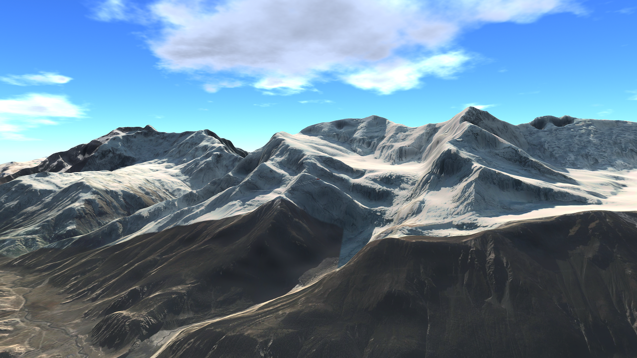
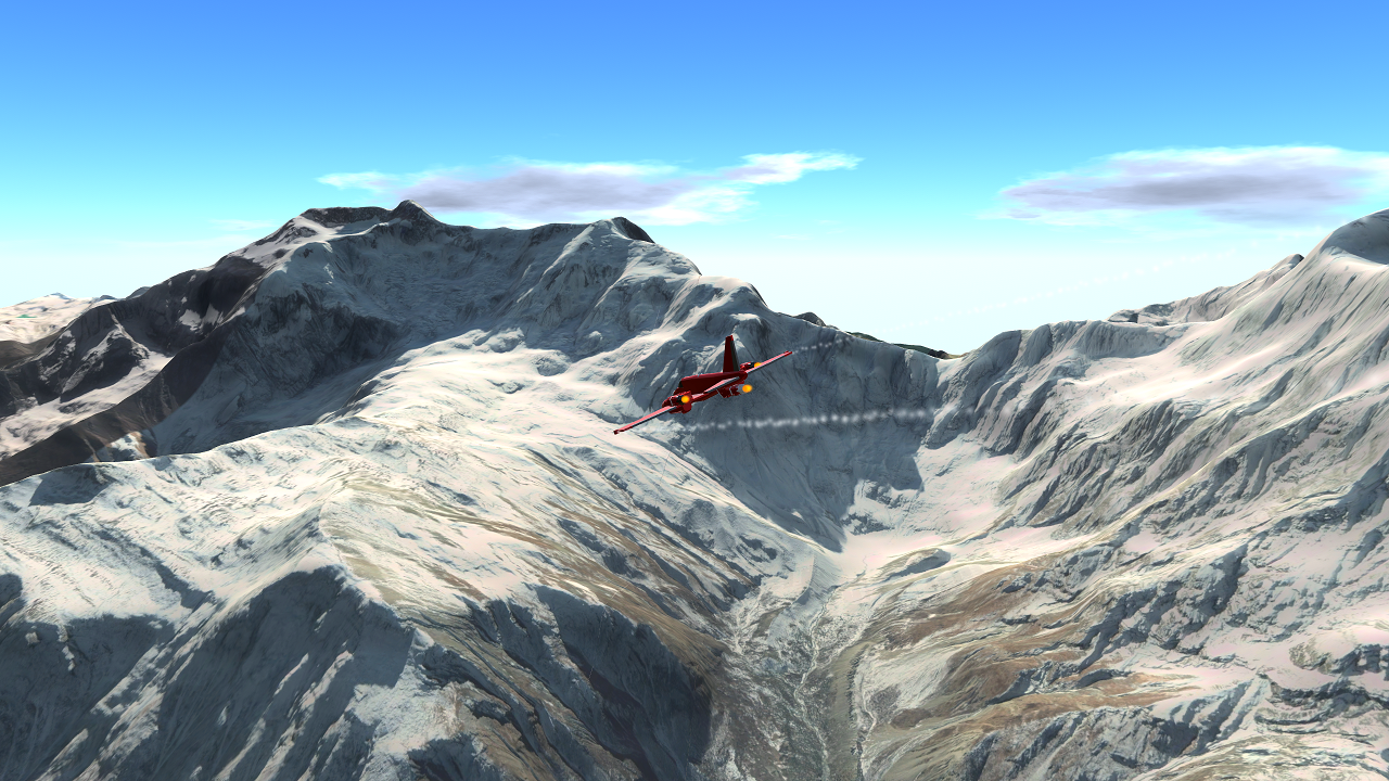
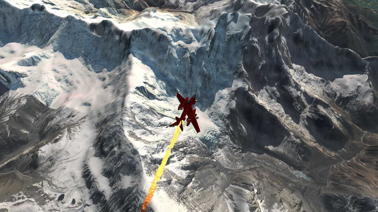
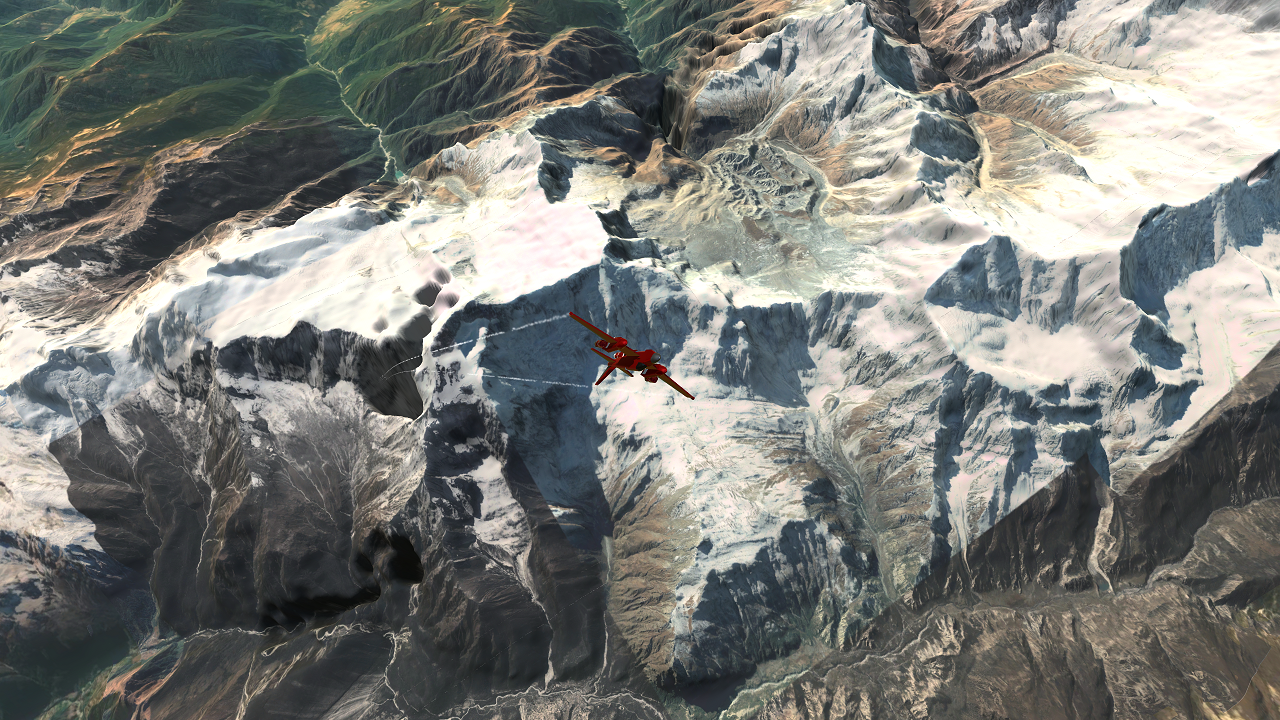
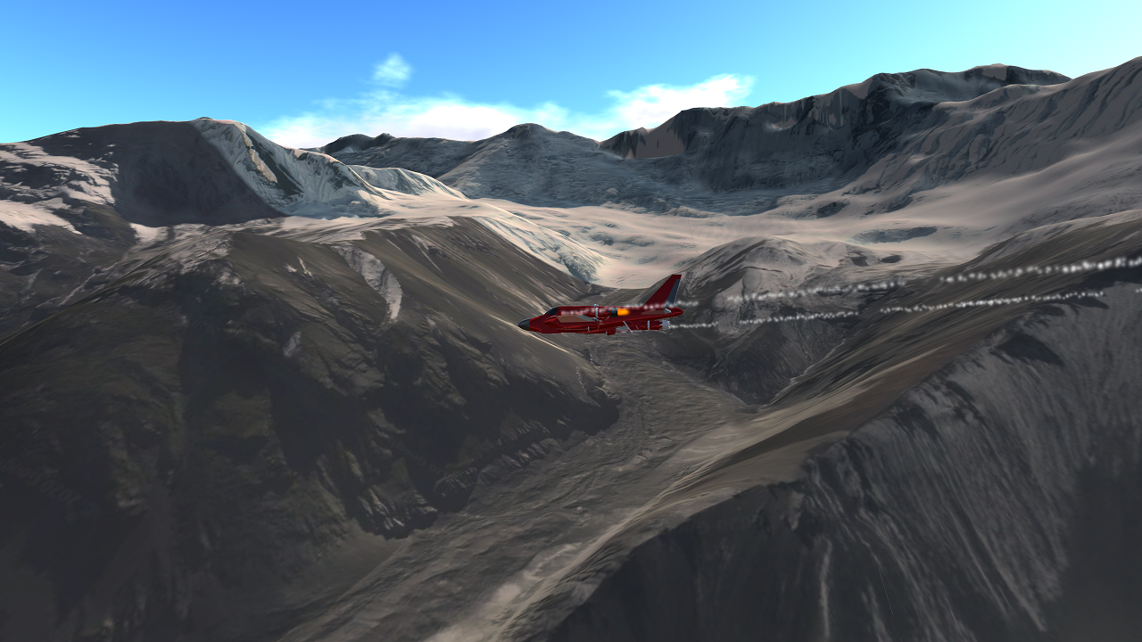
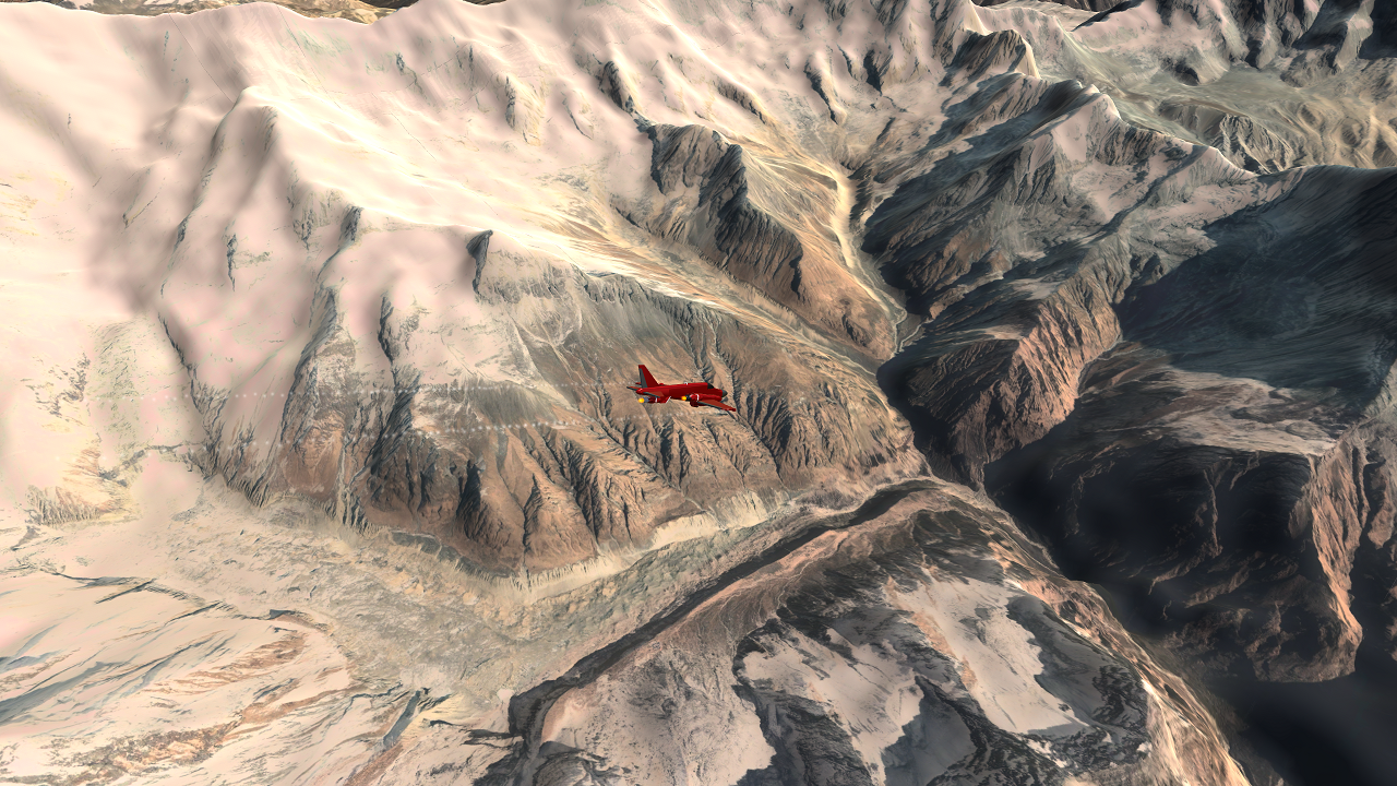
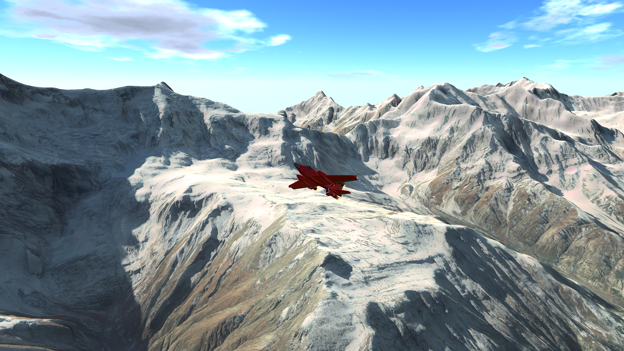
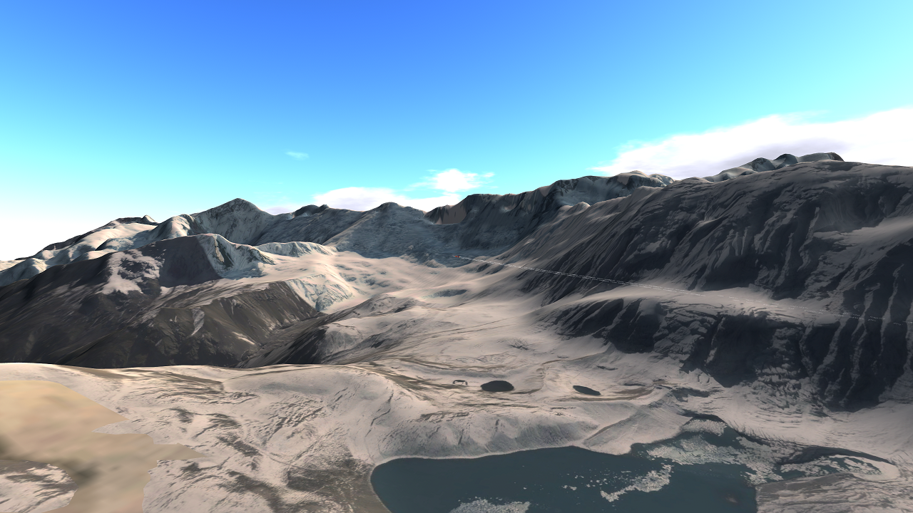
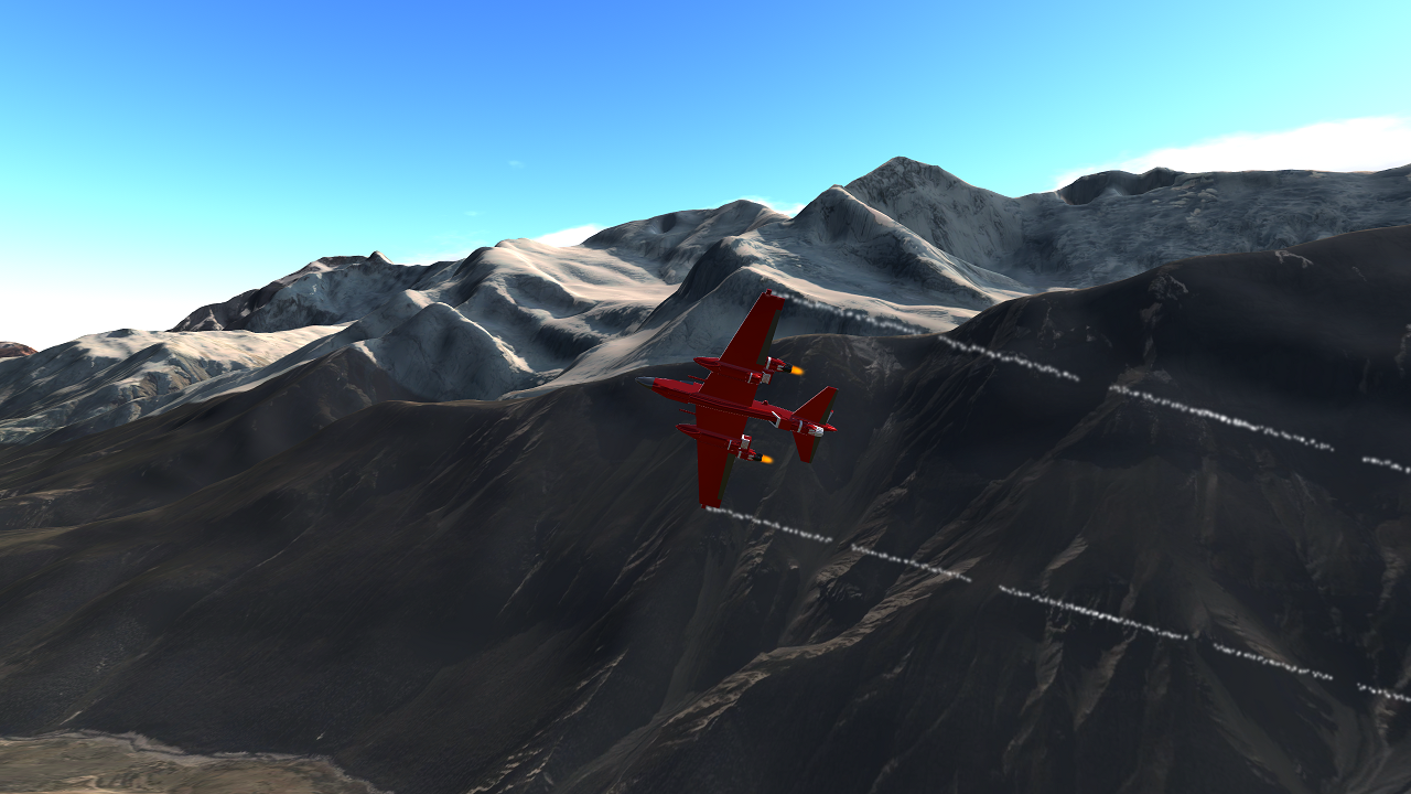
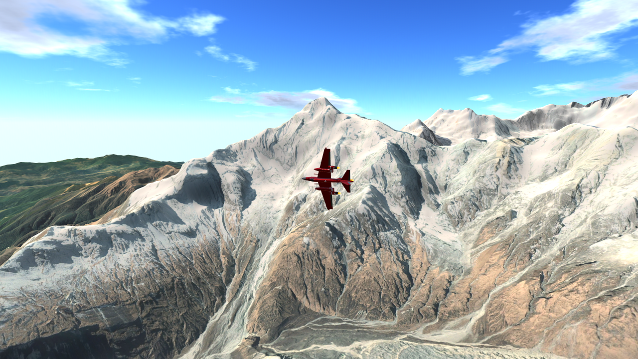
This is a 1:1 map of the entire Annapurna Massif in Nepal, and the surrounding terrain. It uses Block IV GIS, producing even better textures than Block III (Everest, Rainier, and Wake). You'll see what I mean by "large" when you check out the download size... You can climb the multiple peaks included, explore around, or take scenic photos. In this mod, I prefer to fly and take close looks of the glaciers on the mountains.
The following Aerial Starts are included and will help you with the peak names: Annapurna South, Annapurna I, Annapurna II, Annapurna III, Annapurna IV, Gangapurna, Lamjung Himal. The size of this mod is simply massive, thousands of square kilometers to look at of valley, snow, glacier, and rock.
Notes
- Big textures will provide you the best looks in either the valleys or glacier areas of the mountain.
- There seems to be some heightmap data errors near Annapurna III. Keep your eyes out for these "sinkholes".
- Manang Local Airport is visible near Annapurna II, but it is not a location due to the quality
- As with all the GIS mods, ground start is fundamentally broken. All the starts you make on the ground will be based on your cockpit height, so keep that in mind.
- It is built of 9 Hyper-Detailed pieces, and a background piece.
- Each Hyper-Detail has an 8K texture, as with the background, but background is a larger tile.
- If you do the math, the detailed part alone is 24,578x12,960 pixels
- The terrain is improved from Erebus
- By download this, you are basically downloading 9 8K pictures as well as over a million tris of terrain meshes. That's why it's about half a gigabyte.
-10:00 best for glaciers - Re-Entry Effects is used in some of the pictures, go check it out!
- Source code available on Discord Request, as well as any map/GIS help
Changelog
1.0 - Added Annapurna for Android and PC
If you want to get notified when my mods upload, please follow. Thanks!
This map was suggested by ThatsAHotTopic. If you want to suggest a mod, please click below.

DAMN
Android will be out in 0 minutes. The android version mod is 268mb, PC 540mb. Have fun!
Question. Is it possible to make it available for IOS? I don’t make mods so I don’t know but I’d appreciate it if you could.
JESUS THIS IS AWSOME
Can you make the terrain Mars or the moon?
Hey, Climbing Annapurna III right now, and theres these slates that are above the ground and ive made a system that uses a piston to push me upward and throw me over it. So far it is really difficult, i now realize how true the deaths odds are on Annapurna
EDIT: Had to turn back, the route i took for was too steep, Nearly impossible to climb without the aid of ropes
@232287168147825 ok
Just click the link at the end of the mod description @MobileFriendly
I'll put it on forum
@232287168147825 ok maybe
That’s a really good idea! Can you put it on the dedicated forum post so I can check it out later? @MobileFriendly
Please, make Lukla/Tenzing Hillary airport map! I like your map@232287168147825
@232287168147825 If possible, can you make a 1:1 map of Sydney potentially including these airports: Kingsford Smith International (YSSY) and Bankstown Aerodrome.
At 50,000 feet or so, the ground below looks beautiful! This is absolutely stellar!
I dont even know what to say, This looks EPIC!
This is amazing, keep it up! Would love to see a circuit