Introductions:
Introduction
Kai Tak Airport (IATA: HKG, ICAO: VHHH, VHHX) was the international airport of Hong Kong from 1925 until 1998. Officially known as Hong Kong International Airport from 1954 to 6 July 1998, it is often referred to as Hong Kong International Airport, Kai Tak, or simply Kai Tak and Kai Tak International Airport, to distinguish it from its successor, Chek Lap Kok International Airport, built on reclaimed and levelled land around the islands of Chek Lap Kok and Lam Chau, 30 kilometres (19 mi) to the west.
Officially, Kai Tak Airport held the ICAO code of VHHH, but for logistical reasons during the transition to the new airport, it also temporarily used the ICAO code of VHHX, which is also the code used by the flight simulation community to virtually represent the airport.
Because of the geography of the area, by which water was on three sides of the runway, with Kowloon City's residential apartment complexes to the north-west and 2,000-plus ft (610 m-plus) mountains to the north-east of the airport, aircraft could not fly over the mountains and quickly drop in for a final approach. Instead, aircraft had to fly above Victoria Harbour and Kowloon City, passing north of Mong Kok's Bishop Hill. After passing Bishop Hill, pilots would see Checkerboard Hill with a large orange and white checkerboard pattern. Once the pattern was sighted and identified, aircraft made a low-altitude (sub-600 ft; 180 m) 47-degree right-hand turn, ending with a short final approach and touchdown. For pilots, this airport was technically demanding, as the approach could not be flown by aircraft instruments, but had to be flown visually because of the right-hand turn required. The History Channel programme Most Extreme Airports ranked it as the sixth-most dangerous airport in the world.
Geographic environment
The airport was home to Hong Kong's international carrier Cathay Pacific, as well as regional carrier Dragonair (since 2016 known as Cathay Dragon), freight airline Air Hong Kong and Hong Kong Airways. The airport was also home to the former RAF Kai Tak and the Hong Kong Aviation Club.
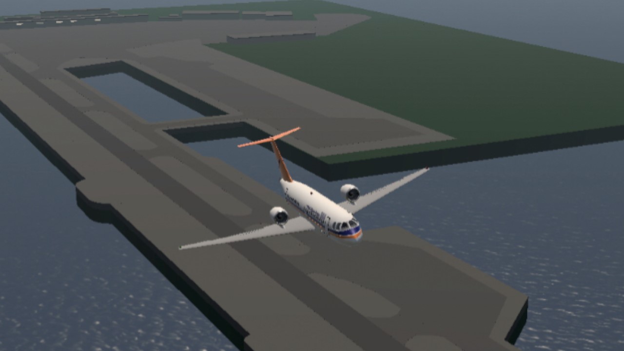
When Kai Tak closed, there was only one runway in use, numbered 13/31 and oriented southeast–northwest (134/314 degrees true, 136/316 degrees magnetic). The runway was made by reclaiming land from the harbour and was extended several times after its initial construction. The runway was 2,529 m (8,297 ft) when it was opened in 1958 and 3,390 m (11,120 ft) long when the airport closed in 1998. During the period between 1945 and 1955, the airport used a different 13/31 alongside a crossing 07/25. These two runways were 1,450 by 70 m (4,756 by 231 ft) and 1,652 by 61 m (5,420 by 201 ft).
At the northern end of the runway at closure, buildings rose up to six stories just across a major multi-lane arterial road. The other three sides of the runway were surrounded by Victoria Harbour. The low-altitude turning manoeuvre before the shortened final approach was so close to these buildings that passengers could spot television sets in the apartments: "...as the plane banked sharply to the right for landing ... the people watching television in the nearby apartments seemed an unsettling arm's length away.
History
1925 to 1930s
The story of Kai Tak started in 1912 when two businessmen, Ho Kai and Au Tak, formed the Kai Tak Investment Company to reclaim land in Kowloon for development. The land was acquired by the government for use as an airfield after the business plan failed.
In 1924, Harry Abbott opened the Abbott School of Aviation on that piece of land. Soon, it became a small grass strip runway airport used by the RAF, and by several flying clubs which, over time grew to include the Hong Kong Flying Club, the Far East Flying Training School, and the Aero Club of Hong Kong; these exist today as an amalgamation known as the Hong Kong Aviation Club. In 1928, a concrete slipway was built for seaplanes that used the adjoining Kowloon Bay. The first control tower and hangar at Kai Tak were built in 1935. In 1936, the first domestic airline in Hong Kong was established.
World War II
Hong Kong fell into the hands of the Japanese on December 12, 1941, during World War II. In 1942, the Japanese army expanded Kai Tak, using many Allied prisoner-of-war (POW) labourers, building two concrete runways, 13/31 and 07/25. Numerous POW diary entries exist recalling the gruelling work and long hours working on building Kai Tak. During the process, the historic wall of the Kowloon Walled City and the 45-metre (148 ft) tall Sung Wong Toi, a memorial for the last Song dynasty emperor, were destroyed for materials. A 2001 Environmental Study recommended that a new memorial be erected for the Sung Wong Toi rock and other remnants of the Kowloon area before Kai Tak.
1945 to 1970s
From September 1945 to August 1946 the airport was a Royal Navy shore base, "HMS Nabcatcher",[14] the name previously attached to a Mobile Naval Air Base for the Fleet Air Arm. On 1 April 1947, a Royal Naval Air Station, HMS Flycatcher, was commissioned there.[15]
A plan to turn Kai Tak into a modern airport was released in 1954. By 1957 runway 13/31 had been extended to 1,664 metres (5,459 ft), while runway 7/25 remained 1,450 metres (4,760 ft) long; night operations were not allowed. Bristol Britannia 102s took over BOAC's London-Tokyo flights in summer 1957 and were the largest airliners scheduled to the old airport (Boeing Stratocruisers never flew there). In 1958 the new NW/SE 2,550-metre (8,350 ft) runway extending into Kowloon Bay was completed by land reclamation. The two old runways were removed with footprint used by apron and terminal building. The passenger terminal was completed in 1962. The runway was extended in the mid-1970s to 3,390 metres (11,130 ft), the final length. This extension was completed in June 1974, but the full length of the runway was not in use until 31 December 1975, as construction of the new Airport Tunnel had kept the northwestern end of the runway closed.
In 1955 Kai Tak Airport featured in the film "The Night My Number Came Up."
An Instrument Guidance System (IGS) was installed in 1974 to aid landing on runway 13. Use of the airport under adverse conditions was greatly increased.
In the 1970s an aircraft crash called attention to the potential loss of life in the high-density residential developments around the airport, though there were no serious accidents.
Overcrowding in the 1980s and 1990s
The growth of Hong Kong also put a strain on the airport's capacity. Its usage was close to, and for some time exceeded, the designed capacity. The airport was designed to handle 24 million passengers per year, but in 1996, Kai Tak handled 29.5 million passengers, plus 1.56 million tonnes of freight, making it the third busiest airport in the world in terms of international passenger traffic, and busiest in terms of international cargo throughput. Moreover, clearance requirements for aircraft takeoffs and landings made it necessary to limit the height of buildings that could be built in Kowloon. While Kai Tak was initially located far away from residential areas, the expansion of both residential areas and the airport resulted in Kai Tak being close to residential areas. This caused serious noise and engine pollution for nearby residents and put height restrictions, which were removed after Kai Tak closed. A night curfew from 11:30 pm to 6:30 am in the early morning also hindered operations.
Kowloon City, 1998. Prince Edward Road is the flyover in the photo. A China Airlines Boeing 747 is seen in the photo.
As a result, in the late 1980s, the Hong Kong Government began searching for alternative locations for a new airport in Hong Kong to replace the aging airport. After deliberating on a number of locations, including the south side of Hong Kong Island, the government decided to build the airport on the island of Chek Lap Kok off Lantau Island. The new airport is located far away from Hong Kong's main residential areas, conducive to minimising the dangers of a major crash and also reducing the nuisance of noise pollution. A huge number of resources were mobilised to build this new airport, part of the ten programmes in Hong Kong's Airport Core Programme.
The Regal Meridien Hong Kong Airport Hotel (now the Regal Oriental Hotel), linked to the passenger terminal by a footbridge spanning Prince Edward Road, opened on 19 July 1982. This was Hong Kong's first airport hotel, and comprised 380 rooms including 47 suites. The hotel still exists, but the footbridge (which was connected to the passenger terminal) has been demolished. It is one of the few remaining buildings related to Kai Tak Airport.
A short note about this project
So after I make the Milan Linate Airport, there are some requests of letting me to build airports, including Guangzhou Baiyun International Airport, Milan Malpensa International Airport, Bangkok Don Mueang airport and this airport. The request of the Kai Tak airport came from UnfairchildFH227, this airport reminds me of my Hong Kong identity, and I thought that this airport has a long and legendary history, so I planned to make this.
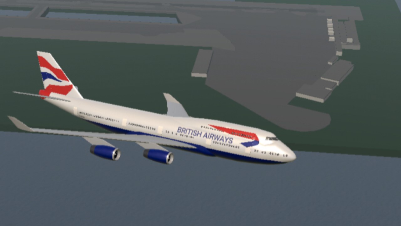
Credit to Decembermin‘s British airways 747-400 on the 1st thumbnail

Specifications
Spotlights
- Inuyasha8215 1.6 years ago
General Characteristics
- Predecessor [CLOSED]Airport challenge
- Created On iOS
- Wingspan 6971.8ft (2125.0m)
- Length 12864.0ft (3920.9m)
- Height 305.2ft (93.0m)
- Empty Weight 2,540,070lbs (1,152,157kg)
- Loaded Weight 2,540,070lbs (1,152,157kg)
Performance
- Wing Loading N/A
- Wing Area 0.0ft2 (0.0m2)
- Drag Points 0
Parts
- Number of Parts 217
- Control Surfaces 0
- Performance Cost 524


8/10
Good job!
̶D̶o̶w̶n̶l̶o̶a̶d ̶̶̶̶p̶̶̶̶l̶̶̶̶a̶̶̶̶n̶̶̶̶e̶̶̶̶s
Download airport 💀
How do i flippin spawn it
启德泡水
As you did for the performance cost of this construction not to crash the simpleplanes?
Spawn it in the water (plz spawn it away from the shore) @Newspuser
How to spawn it?
@CR929thenewSPplayer ok
I just saw this comment, I’ll post a tutorial tomorrow
我刚看到这消息,我明天发教程
@Transair56
just put it on water that’s far wavy from other lands (it can float on water)
@AviationFanLithuanian
How to find or make flat land on simpleplanes?
How to find flat land for the airport? Because it explodes while on terrain land and drowns in the ocean
Make more
@CR929thenewSPplayer
how did you make 3 pictures on IOS?
你是如何在ios上制作3张图片的? (使用谷歌翻译)
这就是启德
@ooooooooooooooooof
@AeroflotBilibili @AeroflotBilibili 我已经开始泡澡了
这是启德还是哪
Okey
@Inuyasha8215
Add checkerboard hill next time
Emm… okey…
God bless your iPad
@ThatRandomCouchPotato
My iPads gonna die trying to load this
代入感很强,已经开始急转弯了
是滴
@Mihgjjjj
啊,不是启德国际机场吗
@CR929thenewSPplayer Than I’ll always download your builds