Functioning VOR navigation and precision-approach guidance for several locations around the map. Select a point by using the grid buttons (i.e. 2 + 4 gives Wright Airport, WRT). The selected location highlights green.
Precision Approach: follow the needles on the top instrument to guide yourself toward the runway without looking outside.
Radials and Navigation: the white arrow on the bottom instrument always points toward the selected airport. When you turn toward it you fly toward the point and you'll see your distance from the point decrease (DME goes down). Each point has radials coming out from it that you can follow. Adjust your green course arrow using trim controls, and then fly toward the selected course. The base of the green arrow is a deviation indicator that tells you how far off of your selected course you're currently flying.
Add these instruments to your cockpit for a realistic feel or some fun navigation. They're also great for building autopilots if you're into that sort of thing (make your roll angle proportional to the difference between your heading and bearing pointer). Happy flying!
Specifications
Spotlights
- Numbers2 10 months ago
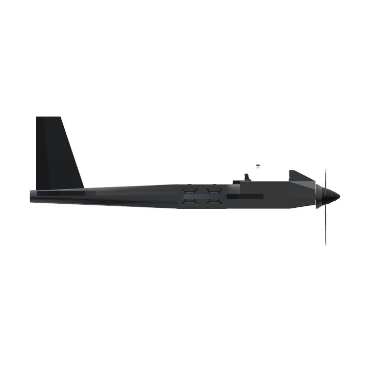
General Characteristics
- Created On Windows
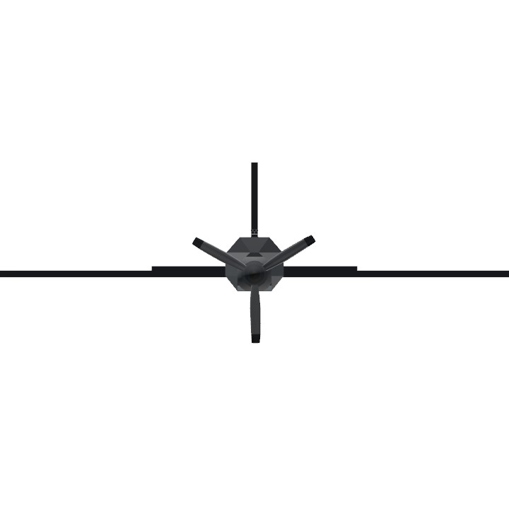
- Wingspan 24.3ft (7.4m)
- Length 20.4ft (6.2m)
- Height 8.5ft (2.6m)
- Empty Weight 2,506lbs (1,136kg)
- Loaded Weight 2,771lbs (1,257kg)
Performance
- Horse Power/Weight Ratio 0.18
- Wing Loading 20.7lbs/ft2 (101.1kg/m2)
- Wing Area 133.9ft2 (12.4m2)
- Drag Points 581
Parts
- Number of Parts 48
- Control Surfaces 5
- Performance Cost 362