Operate trains on the Nippon Railways North Hinoyama Line. This map is compatible with SPR trains.
Features:
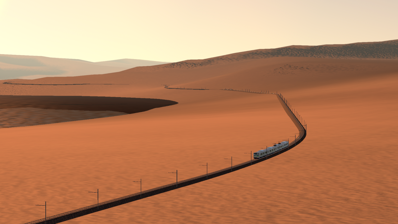
- Rural mountainous line that takes 80 minutes to travel from end to end
- Low- and high-speed operation
- Multiple timetabled scenarios
BACKGROUND
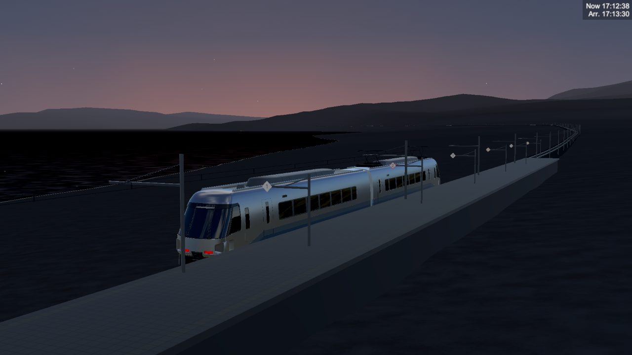
Following its appearance in a popular TV show, the region around the Hinoyama line has seen a steady increase in winter tourism. Nippon Railways North has decided to capitalize on the resulting transportation demand by introducing the Hatsuharu Express, providing convenient access to Hinoyama from larger towns off the line.
This scenario takes place during the introduction of the Hatsuharu Express in the winter of 2034-2035. Nippon Railways North has yet to upgrade the capacity of the line, so operation will be challenging for drivers this season.
The maximum line speed is 110 km/h. There are continuous gradients of up to about 40 permille and a minimum corner radius of 100 m. The maximum allowable car length is 20 m.
Station list:
01  V       Ni-no-mae
02  |       Ginsha
03  []  O   Yakumo (interchange)
04  []      Hakurou
05  |       Roukan
06  |       Sari
07  |       Yamazaki
08  []      Harumi
09  |       Harumi-Higashi
10  |       Oozora
11  |   O   Hinoyama
12  ^   O   Hinoyama-Jinja
Note: O means that the Hatsuharu Express stops at that station.
DRIVING
Reference corner speeds
These function as recommended speed limits. Use this table to convert the radii in the pace notes to speeds.
The speeds are for a moderate amount of canting. This map does not have actually any canting due to tooling limitations, so just imagine that it is there.
V (km/h)    R (m)       R (m) (express tilting trains)
30          100         100
40          150         125
50          200         150
60          300         200
70          400         300
80          550         400
90          750         550
100         1000        750
110         1300        1000
Notes:
- The pivot point of the frontmost part of your train is taken as the front. If your train does not have thin parts at the front, stop position judgment in levels will be inaccurate. Please add a thin part like a label to the front of your train.
- Ginsha and Hinoyama-Jinja have stop position sign placements different from the other stations.
Example train:
N301 F
Added a high beam light to the N301 one car post (requires ConvenientParts)
SIGNS
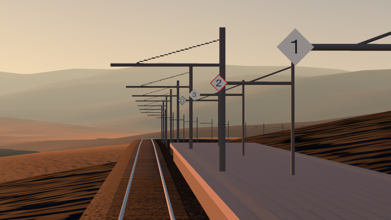
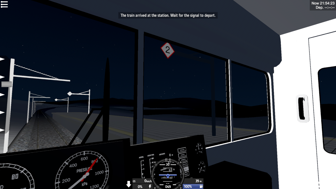
Stop position sign (numbered)


When stopping at a station, stop such that the front of the train aligns with the sign with the number of cars as stated in the level description. If there is no corresponding sign, stop at the sign with the smallest number that is greater than the number of cars.
Stop position sign (circle)

If there are no suitable numbered signs, stop at the sign with a circle.
Station name sign

This sign warns of an upcoming station. It is placed 500-700 m before the platform. Its position is not calculated for braking points, but it may still be used as a reference point.
Track end sign

This sign is placed at points where the train track terminates.
RESOURCES
Pace Notes
Displays curve radii and reference speeds. There may be inaccuracies, and distances are not indicated, so be careful when driving.
Timetables
Timetables for each scenario.
Train Level Guide
Quick start guide for making train scenarios using the TrainLevelBase system.
DEV NOTES
This is a test for creating train tracks using EasyRoads3D. Terrain was built before laying down the tracks. EasyRoads3D allowed for the creation of a reasonable train driving map without any 3D modeling. The tracks consist of straight segments that are each 3 meters long. Props are made using only Unity default meshes.
However, this system has many issues. Construction is imprecise and leads to sudden large fluctuations in horizontal and vertical curves. There is also no easy way to construct easing curves, canting, or switches (changeovers still require 3D modeling and introduce track joints). Lastly, the largest problem arises from track joints. It is necessary to split tracks into segments to enable proximity rendering, but this introduces track joints, which are not smooth and will cause the train to derail if travelling at high speeds. This effect can be partially hidden by only placing joints near sharp corners.
There is a strange known issue where the overhead wires do not appear on most of the line, even though the poles appear. I can't fix it.
The gameplay and other user experience of train scenarios are based on BVE Trainsim.
Station names are a mix of funny references and normal-ish names. They were chosen by combining suggestions in a forum post with other sources.
SkySimulationSettings.cs from Flight Park Kirama is used. The same dev console commands are available.
VERSION HISTORY
1.0.2 (2411240055) >
- Various scenario bug fixes
1.0 (2411210130) >
- Initial release


@hpgbproductions thanks,got it
@KeqingForever slight skill issue (both mine and yours)
Also the tool likes to make sudden changes in grade for no reason
Why?Why there‘s so much gaps and bumby disticts on the rail? Hope the auther could fix 'em ASAP,cause they makes this mod not smooth enough
Can you add railways to Maywar Island,Snowstone Island and you old maps such as Kirama?It will be many Intersted
Would love to see switchable tracks implemented in the future if possible. I completed the entire route with my modified KEIO 9000 train without derailing lol.
Although this test map is simple, the atmosphere is surprisingly good, likes driving at the end of the world in a dream, reminiscent of the lonely railway of JR Hokkaido
@Windows2000 SPR switches are small af, any larger train cars can't use them
Also the combination of goofy tooling and big maps gives trouble
So with these problems, i don't really tech-support this map
The track in Hakurou station and between Ginsha and Halurou stations (between Yakumo station and the route development near Yakumo station) also has gaps
Would you improve the scenery, use the same usable switches as the SPR map and extend the transfer line from Yakumo Station(Hinoyama Line has no other transfer station, so this line is probably a mainline connecting the inland)? I think many people will be looking forward to the improved map
I hope to release the Android version soon.
i want android verson
The mod is fantastic,but not smooth enough
I want mobilwwwwww version
Extraordinary work
@hpgbproductions If this gaps are intentional, I think it would be good to have some kind of sign.
Anyway, this is great. thank you.
The First Rule Is: No Trains
xD
The fact that the userbase is keeping this game so alive and thriving rn is lovely. Good stuff as always hpgb!
@AvantRevaty these are known, i need to split the rails for performance reasons, which introduces gaps
The gaps are put in slow areas to reduce the chance of derailment
defect report: There is a gap between tracks.
I found these gaps in Station #5-#6, #7-#8, #9-#10(two gaps).
These gaps can cause an explosion while driving.
@winterro no, this isn't designed as an island, and i also don't have any interest in combining it with the base map
@Apollo018362 i will add buildings and trees to this map soon (tm), but they will be limited to near the tracks
I like big map <3
Is it possible to combine the simpleplanes map with this mod?
Something Like the simpleplanes interstate mod?
I made an abomination that did this in 5 minutes. Terrifying corner speeds included.
You could make a 2nd map with cities and forests so it can be more beautiful than it already is, what do you think?